
Harvey ZIP Code Coverage
Official postal material supports two Harvey labels. Neither label is a complete map of the Harvey Census-designated place. USPS defines delivery geography, while Jefferson Parish GIS and the Assessor locate a parcel. The Harvey ZIP code directory therefore records what the official source supports and leaves post-office details blank when the research did not confirm them.
| ZIP | Supported postal area | Post office | Boundary note |
|---|---|---|---|
| 70058 | Harvey postal city; used by official library, sheriff, park, and court addresses | Not confirmed in inspected official sources | May serve addresses beyond the CDP; verify the parcel |
| 70059 | Harvey postal city; appears in a parish civic-directory mailing address | Not confirmed in inspected official sources | A mailing label does not prove the parcel lies in the CDP |
| Nearby labels | Marrero, Gretna, and other West Bank postal names | Varies | Do not add them to Harvey without USPS address evidence |
No official Harvey ZIP split date, unique ZIP, PO-box-only ZIP, static boundary map, or ZIP-specific population table was found. That is a limit, not a reason to guess. For a complete current city and ZIP relationship, use the monthly USPS City State Product or validate one exact address.
The distinction has practical value. A public office can serve Harvey from a Gretna or Marrero address, and a Harvey mailing label can cover a point whose local geography needs a parcel check. Keep the custodian's address separate from the address named in the record.
Verify a Harvey Postal Label
The USPS ZIP Code Lookup has separate modes for an address, a city and state, or a ZIP. By Address asks for a required street, optional company and unit, city, state, and ZIP. Its result validates mail format. USPS warns that the result does not confirm that a named person or business occupies the address.
The USPS City State Product is the stronger source for ZIP, city, county, and alternate post-office name relationships.
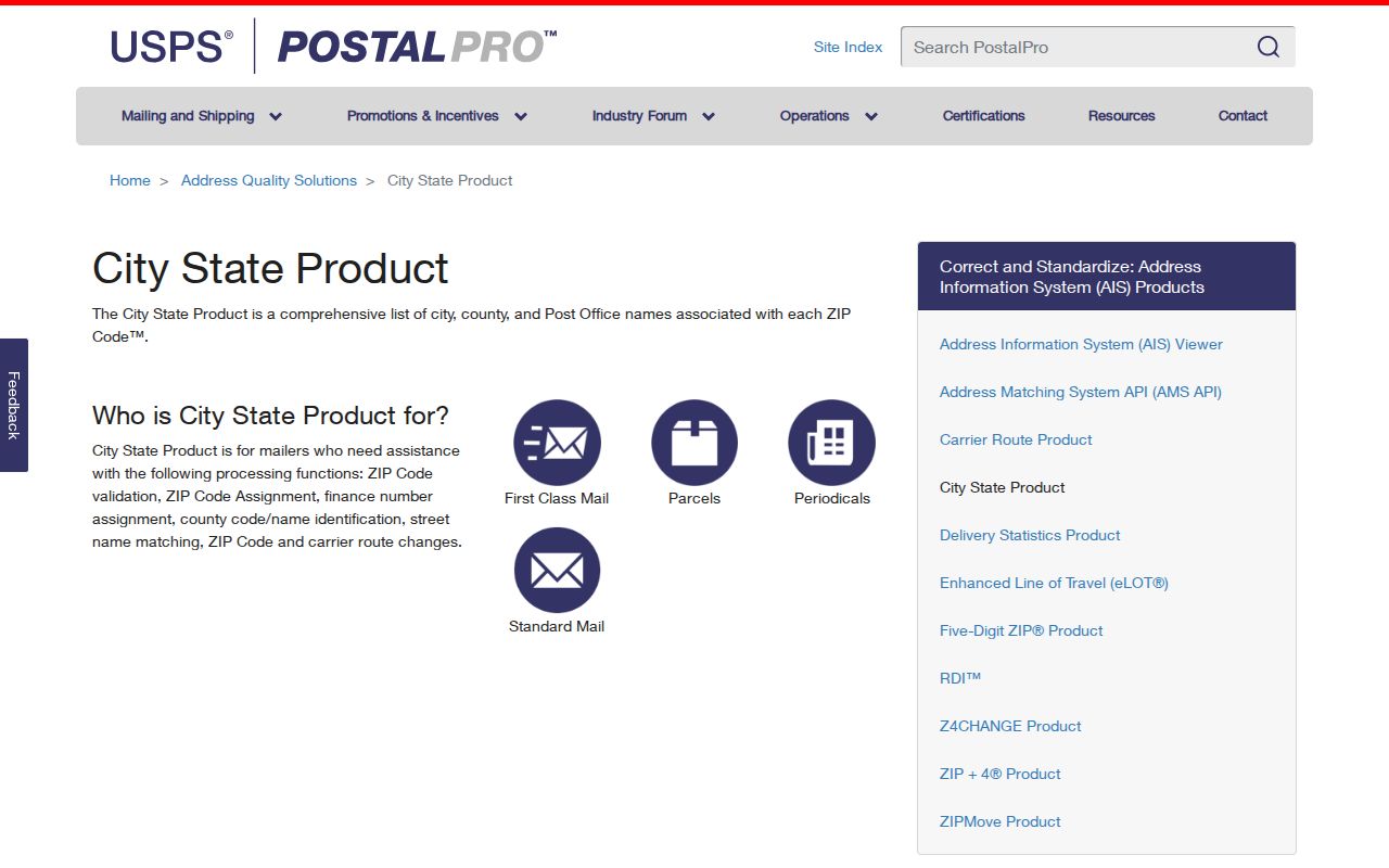
This monthly product is better suited to a current postal-name check than a copied ZIP list. Keep its update date with the result.
For apartment and suite addresses, include the unit when it is known. A standardized street without the unit can still point to a large building or delivery point, not one household. If USPS rejects the form, check spelling and directional terms before changing the city label.
| USPS mode | Inputs | Proper use |
|---|---|---|
| By Address | Street, unit, city, state, ZIP | Normalize one delivery address |
| By City and State | City and state | Review postal ZIP relationships |
| By ZIP | ZIP | Check the official postal city label |
| City State Product | Current product data | Validate city, county, and alternate names |
Test Harvey ZIPs by Parcel
A postal city and a physical place can both be correct while describing different systems. Run the exact address through USPS, then locate it in the Jefferson Parish Assessor or JeffMap. Record the parcel's physical address, legal description, and map location separately from the tax mailing address. The legal description, such as subdivision, block, and lot, gives continuity when street text changes.
JeffMap accepts an address, nearest intersection, or subdivision. Its parcel, street, structure, canal, zoning, and land-use layers help show where a point sits on the West Bank. The Assessor accepts owner, property address, parcel number, and subdivision, but its inspected search page has no ZIP field.
This Harvey ZIP code directory uses the stable chain: postal result, physical parcel, legal description, and Jefferson jurisdiction. A neighboring postal label should be retained if USPS supplies it. It should not be silently changed to Harvey.
Planning can help with a disputed location at 504-736-6320. The office and GIS tools answer place questions, not questions about who lives there. For a parcel that does not resolve by street text, search the subdivision or nearest intersection, identify the parcel on the map, and compare its legal description with the Assessor result.
Note: Jefferson Parish warns that its online zoning map is not an official zoning determination.
Find Harvey Records by ZIP
No inspected local portal offers a simple browse of every Harvey resident in one ZIP code. The Louisiana voter lookup uses ZIP as one of four identity fields, and a lawfully purchased voter list can use residence or mailing ZIP. The Assessor and JeffMap rely on address, parcel, subdivision, or map tools instead. USPS validates delivery geography but does not confirm people.
- Validate the exact street and unit through USPS. Save the returned postal city and ZIP with the search date.
- Use the Assessor or JeffMap to resolve the address to its parcel and actual Jefferson Parish location.
- For a named voter question, enter first name, last name, ZIP, and birth month and year in the state portal.
- For an authorized voter-file request, distinguish residence ZIP5 and ZIP4 from mailing ZIP5 and ZIP4.
- Verify the person through a second dated official source. Do not turn a ZIP filter into a resident count.
Once the postal area has narrowed the question, the Harvey street directory handles street and parcel research. That step is essential because a ZIP-wide result says less than an exact address.
Compare Harvey ZIP Fields
ZIP fields do not mean the same thing across official records. Voter files separate residence and mailing ZIP codes. The Assessor separates a parcel's physical site from its tax mailing contact. A deed may preserve a party address and a legal description. Old directories and newspapers may omit ZIP codes or use the postal convention in force when printed.
| Source | ZIP input or field | Returned unit | Limit |
|---|---|---|---|
| Louisiana voter lookup | ZIP plus name and birth month/year | One registration match | Not a browse-all search |
| Purchased voter list | Residence and mailing ZIP5/ZIP4 | Restricted, paid file | Not a complete population count |
| Jefferson Assessor | No ZIP field on inspected form | Owner, address, parcel, subdivision results | Tax mailing address may differ |
| JeffMap | No visible ZIP filter | Mapped parcel or place | Use address, intersection, or subdivision |
| USPS | Address, city/state, or ZIP | Postal validation | Does not confirm occupancy |
Keep the field label in research notes. Calling every address field “the ZIP” hides the difference between a delivered mailing address and the location of the property.
Voter data needs another safeguard. Louisiana law withholds protected identifiers, and the Address Confidentiality Program can substitute an agency mailing address for a confidential physical one. A blank, changed, or unexpected ZIP may reflect a lawful protection. It is not an invitation to search around the protection through parcel maps.
Harvey ZIP Geography Context
Harvey is an unincorporated Census-designated place, not a separate city government. Parish records route to Jefferson Parish offices, often in Gretna or Marrero. The Mississippi River divides the parish into East and West Banks, and Harvey belongs to the West Bank service geography with Marrero, Terrytown, Crown Point, Lafitte, and Waggaman.
The Jefferson Parish Census information page shows why every number needs its source and geography.
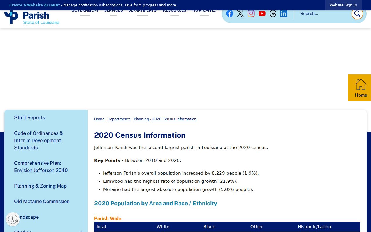
The parish table and Census QuickFacts report different Harvey figures under their displayed treatments. Neither should be converted into a total for 70058 or 70059.
Official addresses add useful place anchors. West Bank Regional Library, JPSO, parks, and Juvenile Court use Harvey 70058. A parish civic entry uses Harvey 70059. These examples support postal labels, not complete boundary polygons.
The Harvey Canal also works as a map and history clue. Parish planning material describes the corridor through its river, canal, residential, commercial, and industrial setting. A source that says only “near the canal” still needs a parcel, map layer, deed, or dated directory before it can be assigned to a ZIP or person.
Handle Nearby West Bank Labels
A record tied to Harvey may point to a Gretna courthouse, a Marrero registrar office, a Jefferson parish department, or a nearby postal city. That does not move the subject from one place to another. It often reflects the custodian's office or the delivery label rather than the parcel.
Preserve the original text first. Then add separate normalized fields for postal city, USPS ZIP, Jefferson jurisdiction, and GIS or Assessor parcel location. For an old directory or newspaper, also keep the publication date because postal conventions and community names can change.
This method also prevents false totals. Census QuickFacts describes the Harvey CDP, parish tables describe their stated place geography, and voter products return registration records selected under their rules. None is automatically a count of all people receiving mail in a ZIP. Label the unit and date beside every number.
Boundary rule. Never expand Harvey to a nearby ZIP merely because the office, library, or civic result serves the same West Bank area.
Harvey ZIP Boundaries Explained
Harvey has no incorporated city limit to match against a ZIP code. Its Census boundary, USPS delivery geography, parcel map, and parish jurisdiction answer different questions. The exact address test is therefore more reliable than a shaded web map: validate mail through USPS, locate the physical parcel through JeffMap or the Assessor, and retain both results.
- ZIP and ZIP+4
- A ZIP identifies a delivery area. The added four digits narrow mail to a smaller segment, such as a block, building, or group of boxes.
- PO-box ZIP
- A code used chiefly for post-office boxes rather than street delivery. No Harvey example was confirmed.
- Unique ZIP
- A code assigned to one high-volume recipient. No Harvey example was confirmed.
- Carrier route
- A delivery path inside a ZIP. It is not a neighborhood or legal boundary.
A protected voter can also have a substitute address through Louisiana's Address Confidentiality Program. Do not use ZIP, parcel, or map tools to try to uncover the confidential physical address. The Harvey ZIP code directory should stay useful at the geography level without exposing personal results.